05 March 2024
COMMENT: Maps shape our lives – showing us not just where we are, but who we are
By Dr Mike Duggan, Lecturer in Digital Culture, Socety and Economy
Maps and everyday life are now so intertwined for most people that it’s difficult to imagine a world without them.
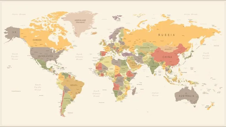
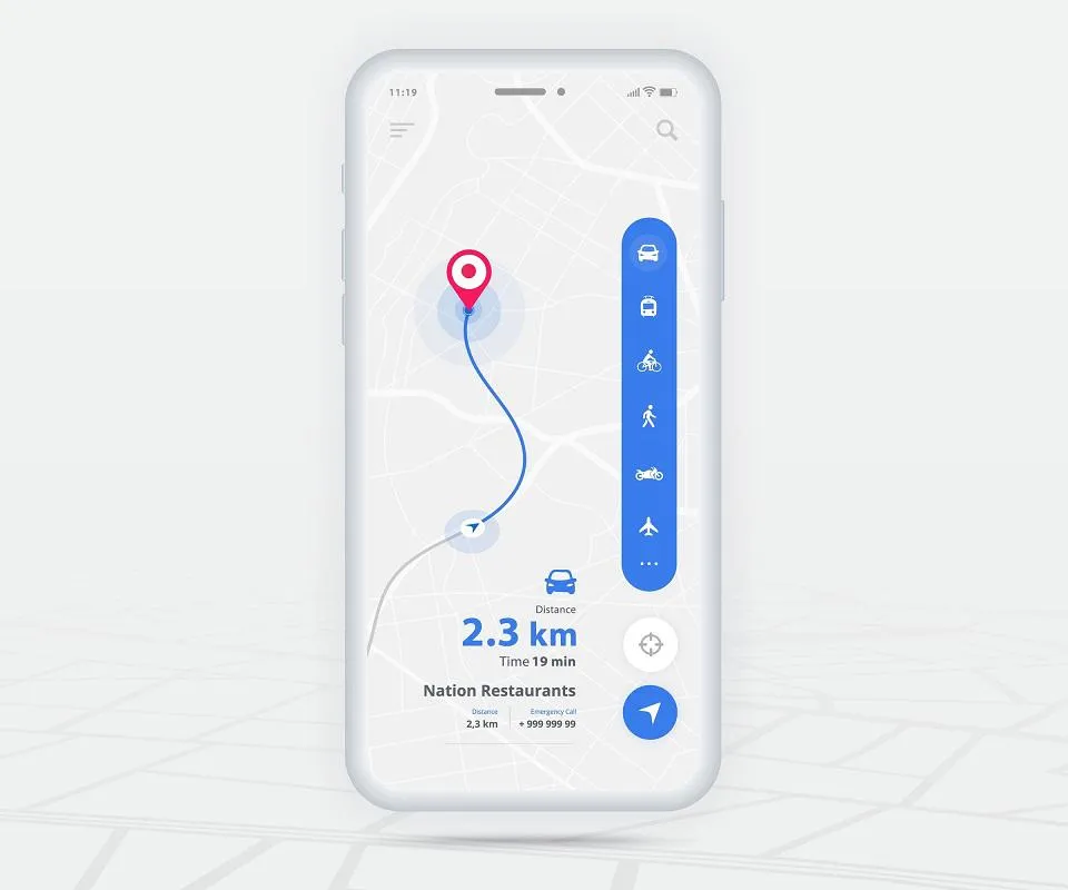
Most of us use at least one map every day. Some of us use many, especially now they have become one of the dominant interfaces of our digital society, alongside the scrolling screen, camera view and search engine.
We are also being mapped – subtly or overtly – through the GPS and location data traces we leave, the journeys we make, and the kinds of activities that we get up to as we go about our daily business.
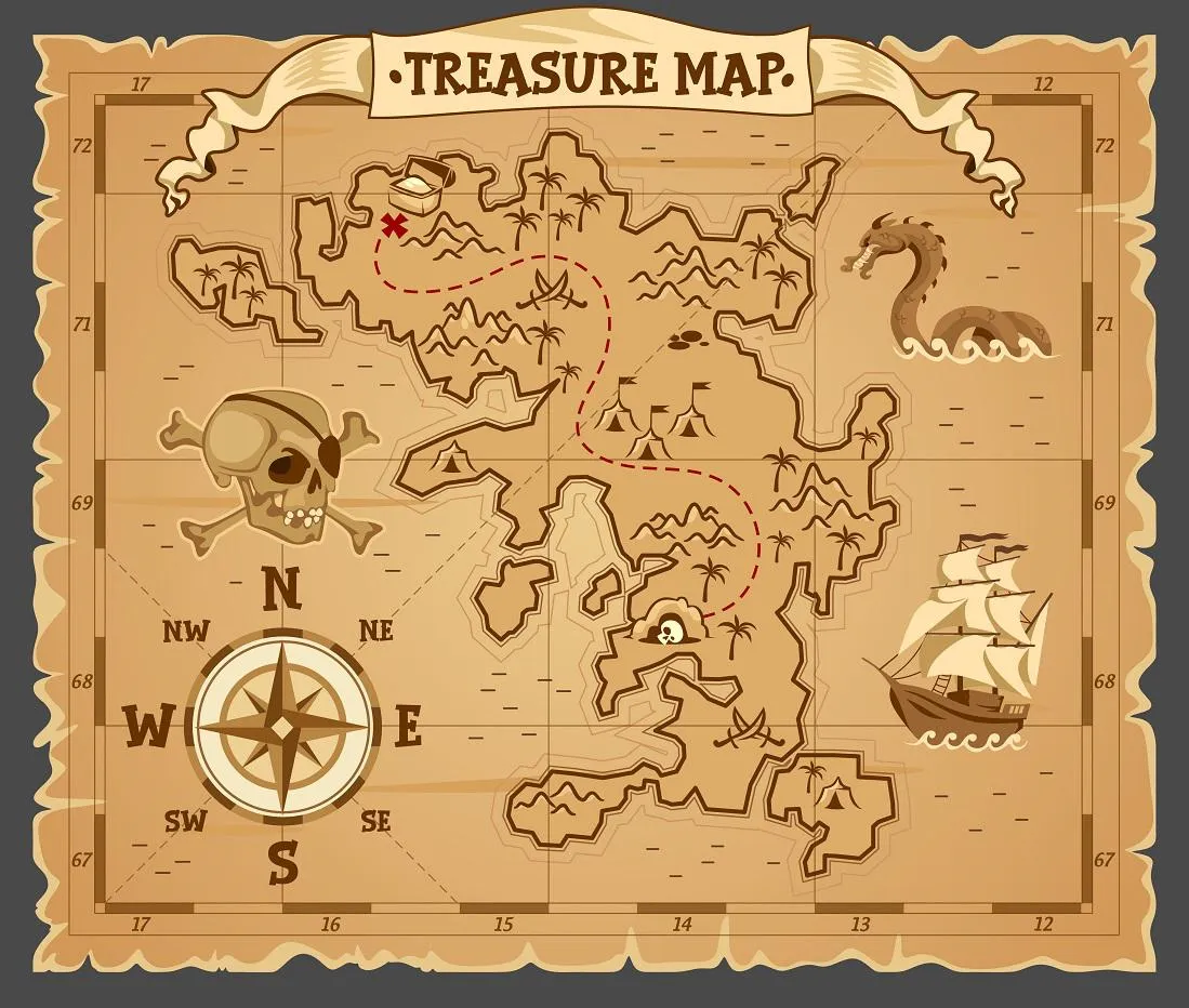
Then there are the other, more analogue ways that maps are part of our lives: childhood pirate treasure maps and atlases that reveal a world ripe for adventure; maps on railway platforms or bike docking stations; and maps on the back of flyers posted through the door.
Maps also have other, less practical uses too. They are proudly hung in our homes and offices, used to decorate things like coffee mugs and mouse pads, and even create fashion.
Cartography has become one of the most successful technologies we have developed for understanding the world around us. At the same time, maps have become important cultural and artistic objects that we value greatly. They can be both useful and pragmatic, beautiful and poetic, political and powerful, meaningful as well as mundane.
Shaping social and cultural life
Over the last ten years, culminating in my book All Mapped Out, my work has led me to question what maps mean for people as they go about their daily lives, and in turn how maps shape their experiences.
Maps have received a lot of attention from researchers and industry over the years, mostly with the aim of producing the most accurate and usable map for a given purpose, or by studying how powerful interests are reflected on maps.
Professional cartographers, once working with pencil and paper and now with advanced geo-spatial technologies, aim to produce ever-more detailed maps for ever-more uses, while the sub-field of critical cartography has revealed that what ends up on a map reflects the world views of their makers.
But it is only relatively recently that work has begun to explore what they do to shape social and cultural life.
Maps and what we do with them cannot be defined universally. Ideals and ideas about maps frequently clash with the reality of how and why maps are used. By bringing together my own research studying map users in London, and the work of others who have researched mapping practices around the world, I want to show how uses of maps are shaped by different cultures, communities, contexts and technology.
One way of exploring this is by looking at the impact that GPS technology has had on mapping our movements. Today, millions of people use this technology to reveal their exercise routines, which in turn supports an industry worth billions.
But self-tracking is not just about maps and measurement. These maps become meaningful as objects inscribed with personal cartography. It feels good to see where we have been; it’s a sign that we have achieved something.
Some people have taken this further by using fitness-tracking devices as tools for artworks, wielding the GPS functions to inscribe pictures and words on the map through their movement across the land. GPS art, as it has come to be known, is growing in popularity as people realise self-tracking’s potential outside purely mapping exercise for personal goals.
It began long before the proliferation of the smartphone and fitness-tracking apps, when in 2000 the artist Jeremy Wood set to work recording and mapping his movements using a handheld GPS device. This included tracing his daily travel and even recording his lawn-mowing routes through the seasons. This reveals how a popular mapping technology – GPS – has many impacts beyond those it was intended for.
Mapping Contexts
In my work there are several overlapping themes that chart how maps have become tied to culture and society. I want to do more than identify maps that have changed the world, or lay out the history of maps and society. Instead, I want to show that all maps have the potential to change the world and shape society. It’s just a matter of where you look and whose world you are interested in.
With my book I hope to inspire another look at maps, first through the lens of navigation, perhaps the activity mostly strongly associated with maps, then through movement and how maps shape our perception of it.
I also look at the power and politics of maps that reveal whose interests are served by particular maps, and investigate the cultures of map-making today. With easy-to-use digital mapping tools now available online, alongside the proliferation of advanced mapping technologies now used by professionals, the power of map-making and the cultures that develop around maps are more diverse than ever.
That maps and map-makers are always changing makes studying what we do with maps an exciting area for development. It means that our understanding of maps must evolve with how they continue to shape society.
So it’s high time for a rethink. There remains a prevailing view that maps are neutral and objective, once paper and now digital, accurate and functional, despite the now well-used line that maps are arguments made about the world. Why is this? And how do we move beyond it?
My hope is to create a conversation – one that so far is only being had in a small corner of map studies – encouraging people to think beyond the assumptions society has about maps and how we use them.
This article is republished from The Conversation under a Creative Commons license. Read the original article
In this story

Lecturer in Digital Culture, Society and Economy
