Dr Mary Langsdale
Postdoctoral Research Associate
Research interests
- Environment
- Geography
Biography
Dr Mary Langsdale is an Earth Observation scientist with a particular focus on the use of thermal remote sensing instruments and datasets. Her research has focused on understanding the uncertainties in remotely sensed observations of surface temperature that are instrumental in monitoring climate change effects such as heatwaves and food scarcity.
Mary is a member of the King's Earth Observation and Wildfire (NCEO) research group, the King’s Earth Observation and Environmental Sensing research hub, and the Geocomputation hub. Mary also leads the Geography department's Sustainability Champions team.
Research
- Thermal remote sensing
- Emissivity
- Spectroscopy
- Satellite uncertainties
- Fieldwork
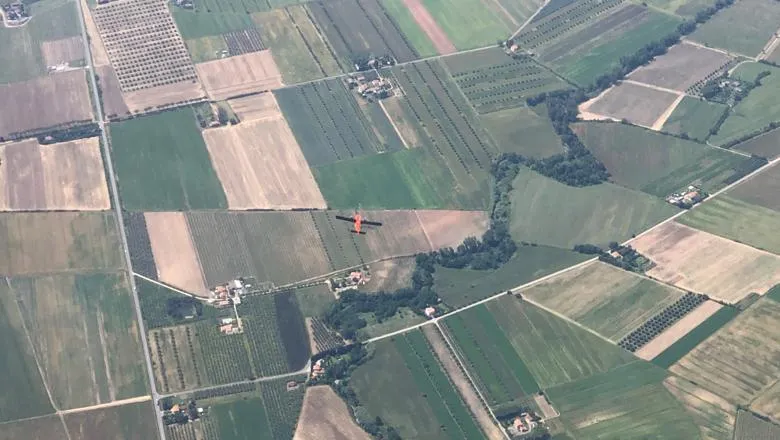
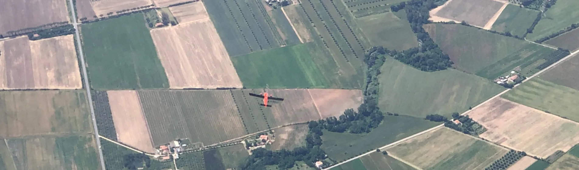
Mary's recent research projects have included investigating the impacts of view angle on satellite-derived temperature observations, as part of the European Space Agency and NASA co-funded project, 'Technical Assistance for the Evaluation of Directional Effects on Surface Reflectance and Land Surface Temperature (LST) Along the Swath by Means of Airborne Acquisitions (SwathSense)'. The results from this campaign will be used to inform the design of a new Copernicus satellite, the Land Surface Temperature Monitoring (LSTM) mission.
Further details
Research
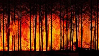
Earth Observation and Wildfire research group
Using satellite data and remote sensing to analyse wildfires and their impact on the planet.
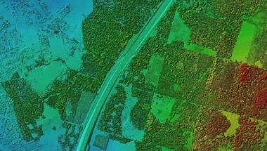
Geocomputation and Data Science Research Hub
The Geocomputation and Data Science Research Hub provides expertise in solving contemporary global problems using data.
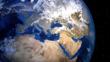
Physical Geography and Environmental Science research group
Enhancing understanding of processes, drivers and impacts in water, land, atmosphere and ecosystems to address environmental and societal challenges.
News
Enhanced sensor design developed by King's researchers could improve accuracy of monitoring for heatwaves and wildfires
The modified design was used for the first time by the team in a joint European Space Agency (ESA) and NASA airborne campaign in Italy between May and July...
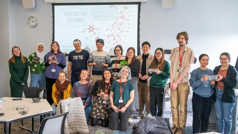
Geography wins sixth consecutive Gold Award for contributions to sustainability at King's
The award recognises the work of Sustainability Champions in the Department of Geography towards making positive and sustainable changes at King’s.
Features
Sustainable travel in academia: Reflections from a physical geographer
With fieldwork an essential component of research and education, how can we move to low-carbon travel options within academia?
Research
Earth Observation and Wildfire research group
Using satellite data and remote sensing to analyse wildfires and their impact on the planet.
Geocomputation and Data Science Research Hub
The Geocomputation and Data Science Research Hub provides expertise in solving contemporary global problems using data.
Physical Geography and Environmental Science research group
Enhancing understanding of processes, drivers and impacts in water, land, atmosphere and ecosystems to address environmental and societal challenges.
News
Enhanced sensor design developed by King's researchers could improve accuracy of monitoring for heatwaves and wildfires
The modified design was used for the first time by the team in a joint European Space Agency (ESA) and NASA airborne campaign in Italy between May and July...
Geography wins sixth consecutive Gold Award for contributions to sustainability at King's
The award recognises the work of Sustainability Champions in the Department of Geography towards making positive and sustainable changes at King’s.
Features
Sustainable travel in academia: Reflections from a physical geographer
With fieldwork an essential component of research and education, how can we move to low-carbon travel options within academia?