Dr William Maslanka
Research Associate in Earth Observation Science
Research interests
- Geography
Contact details
Biography
William is a Research Associate in the King’s Earth Observation and Wildfire (NCEO) Research Group. His research currently focuses on the relationship between Fire Radiative Energy (FRE) and trace gas emission for high-latitude fires; through the use of multiple polar-orbiting satellites. Previously, William worked as a Postdoctoral Research Assistant at the University of Reading, on the LANDWISE (Land Management in lowland catchments for Integrated Flood Risk Reduction), as well as a Monitoring and Flood Forecasting Team Member for the Environment Agency.
William received both his MMet in Meteorology (with a year at the University of Oklahoma, USA), as well as his PhD in Atmospheres, Ocean, and Climate from the University of Reading. This thesis was entitled "Extinction of Microwave Radiation in Snow", and looked at the radiometric and physical properties of snow slabs extracted from the natural snowpack in the Finnish Arctic, and designed a new semi-empirical extinction coefficient model for use with the Helsinki University of Technology snow emission model.
Research
- Remote Sensing/Earth Observation
- Radar Remote Sensing of Soil Moisture
- Passive Microwave Remote Sensing of Snow
- Operational Weather Forecasting
- Fire Emissions
Will’s research interests all lie within the realm of Remote Sensing/Earth Observation. Initially starting with ground-based microwave observations of snow throughout his PhD, he branched out into satellite-based remote sensing throughout his PDRA at the University of Reading, looking at Radar Remote Sensing observations of Soil Moisture, and the impact of agricultural vegetation types. He now uses polar-orbiting remote sensing techniques to investigate high-latitude wildfire emissions.
Further details
Research
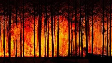
Earth Observation and Wildfire research group
Using satellite data and remote sensing to analyse wildfires and their impact on the planet.
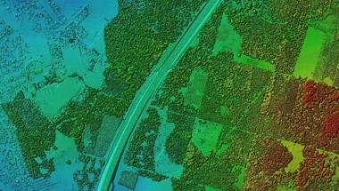
Geocomputation and Data Science Research Hub
The Geocomputation and Data Science Research Hub provides expertise in solving contemporary global problems using data.
Research
Earth Observation and Wildfire research group
Using satellite data and remote sensing to analyse wildfires and their impact on the planet.
Geocomputation and Data Science Research Hub
The Geocomputation and Data Science Research Hub provides expertise in solving contemporary global problems using data.