P91: The impact of natural hazards on transport infrastructure and human mobility
Project abstract
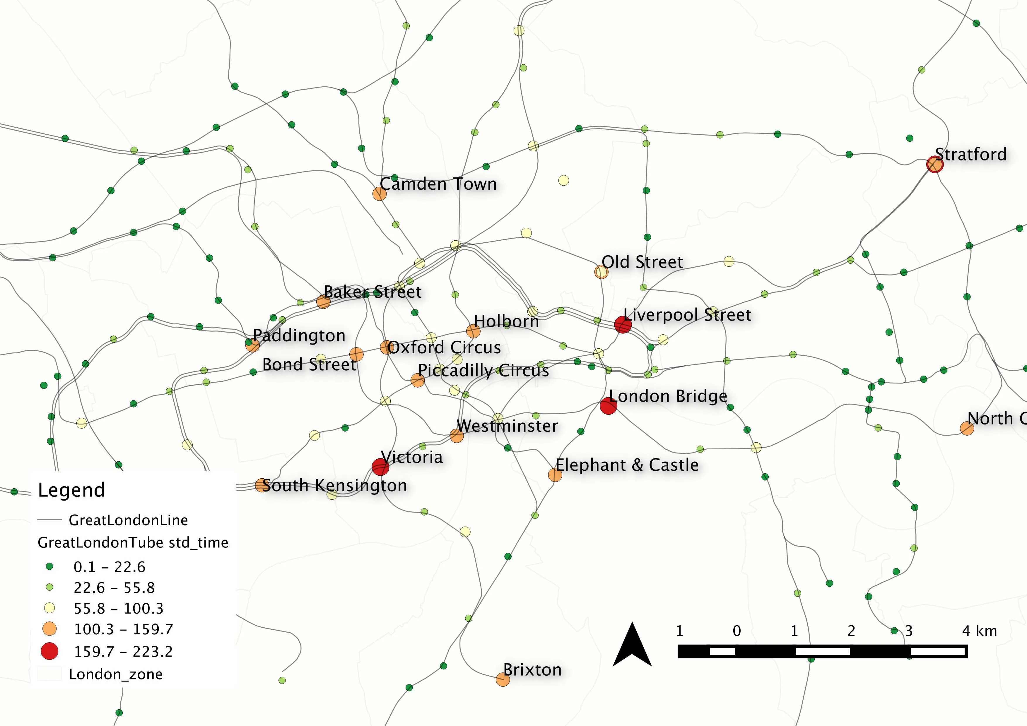
Studies on the vulnerability and resilience of urban transport networks to natural hazards (e.g., flooding, typhoon, extreme temperature) or human influences (e.g., a football match) has attracted growing attention considering the importance of transportation in the day-to-day functioning of an urban area. When a disruption to a transport network happens, it potentially affects not only a given region of the city but also indirectly geographical areas that are connected to it by human movements. For example, a storm that causes widespread flooding in London could bring parts of its transport network (tube, bus, trains) to a standstill.
This project’s approach was to model using computational simulations, analytic theory (e.g., network theory), and real data, the dynamic interactions between humans and the environment in a hazard transport scenario. These models can be run iteratively, with different analytic approaches and base-criteria to better understand where given nodes or links might be made more resilient, consequently reducing the wider negative social and economic impacts on a city. The resultant interplay between transport disruptions and human mobility in extreme cases often represents a system out-of-equilibrium. This project was to develop a simulation framework for assessing the cascading effects of specific natural hazards (at different spatial/temporal scales) on a transport system. The modelling used both simplified and actual transportation infrastructure topologies combined with simulated and actual patterns of human mobility. The work was expected to directly link to transport agencies in given case-study cities, supporting transport system management in the event of a natural hazard and enhancing transport planning by including suitable risk reduction strategies.
Initial suggestions for case study cities were in the UK (e.g., London) or China (e.g., Shenzhen), but there was room for discussion on this with the supervisors. Relevant data sets were largely available mainly from open data sources. Some travel data (e.g. detailed travel survey, smart card data) were needed to be requested from local agencies.
Project Aims
The project aimed to develop methods, measures and models for exploring and simulating the vulnerability/resilience of urban transport systems and subsequent changes to human mobility in response to natural hazards. Although case studies were conducted, the measures and models were developed in a generic form that can be applied in varied contexts.
There were a number of pathways to completing this PhD, but one suggestion was as follows:
- Conduct a systematic literature review of impact-network studies that involved natural hazards and transportation networks and to refine research design.
- Meanwhile, start with a small simulation or analysis project in tandem with the literature review.
- Develop a network-based simulation of simplified hazard events and the corresponding impact on simplified transport networks and simulated human mobility. Run many times with varying parameters to understand end members and how the systems behave with simulations.
- Examine case examples in given localities of a given hazard’s impact (in time and space) on the transport networks and subsequent travel behaviour changes as represented by human mobility during a hazard event using location data.
- For both simulated and ‘actual’ examples, develop measures to quantify the socioeconomic impact of given hazard-transport-human scenarios.
This project benefited from an approach that combined modelling, theory and data analysis. The ideal student had or had to be able to process and analyse data in time and space, do computational and/or mathematical modelling, and have an interest in urban and transport planning. Regarding supervision, the primary supervisor guided the overall research direction, providing advice on not only research methods but also research context about urban transport and mobility. The joint supervisor contributes expertise on mathematic modelling, in particular, network analysis, to ensure a strong technical innovation of the project. The additional supervisor contributed domain knowledge on natural hazards and additional spatial/temporal perspectives in urban areas along with an informal examiner to advise on the research progress.
References:
Koetse MJ, Rietveld P (2009) The impact of climate change and weather on transport: An overview of empirical findings, Transportation Research Part D: Transport and Environment, 14: 205-221, https://doi.org/10.1016/j.trd.2008.12.004.
Rodríguez-Núñez E, García-Palomares JC (2014) Measuring the vulnerability of public transport networks, Journal of Transport Geography, 35: 50-63, http://dx.doi.org/10.1016/j.jtrangeo.2014.01.008.
Zhong C, Müller Arisona S, Huang X, Batty M, Schmitt G (2014) Detecting the dynamics of urban structure through spatial network analysis, International Journal of Geographical Information Science, 28: 2178-2199, https://doi.org/10.1080/13658816.2014.914521