
Dr Faith Taylor
Senior Lecturer in Physical Geography
Currently on sabbatical until August 2026
Research interests
- Education
- Geography
Biography
Dr Faith Taylor is a physical geographer with interests in geographic information systems (GIS), spatial modelling, statistics and natural hazards. She is a Lecturer in Physical Geography in the Department of Geography.
Faith completed her MSc in Environmental Modelling, Monitoring and Management and her PhD at King's College London. Her PhD thesis focused on statistical patterns in triggered landslide event inventories and the development of a landslide road impact model.
Between 2015 and 2017, she undertook two post-doctoral research positions at King’s, with a focus on hazard and risk in towns and cities in the Global South. These projects were ‘Urban Africa Risk Knowledge’ and ‘Why we Disagree about Resilience’. Between 2017 and 2019 she was a Lecturer in Geographic Information System (GIS) at the University of Portsmouth.
During her PhD and postdoctoral research at King's, she co-founded Intrepid Explorers, which is a platform to promote the value of field-based research in education and inspire others to do safe and impactful field research. With colleagues, she also established King's Humanitarian Mappers, which is a group of staff and students who run ‘mapathons’ (mapping marathons) to put remote and vulnerable places on maps that are available to all.
In the video below, Faith tells us about her current NERC innovation project 'Expressive Mapping of Resilient Futures'.
Research
- Natural Hazards
- GIS
- Urban Africa
- Low-data cost spatial models
- Landslides
- Python
- R
- Open data
- OpenStreetMap mapathons
- Free Open Source GIS (FOSS-GIS)
Faith's research looks at the development and use of spatial and statistical models for natural hazards, particularly in the urban Global South. Previous research includes:
- Developing a spatial model of road infrastructure network disruptions from triggered landslide events
- Assessing multi-hazard infrastructure risk in urban Africa
- Qualitative GIS techniques to visualise resilience in informal settlements.
Teaching
Undergraduate
- 4SSG1011 Principles of Geographical Inquiry
- 4SSG1012 The Changing Natural Environment
- 5SSG2064 Global Environmental Issues: Science and Solutions
- 5SSG2042 Natural Hazards
- 6SSG3064 Advanced Issues in Natural and Environmental Hazards
Further details
Research
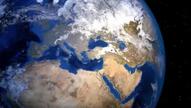
Physical Geography and Environmental Science research group
Enhancing understanding of processes, drivers and impacts in water, land, atmosphere and ecosystems to address environmental and societal challenges.
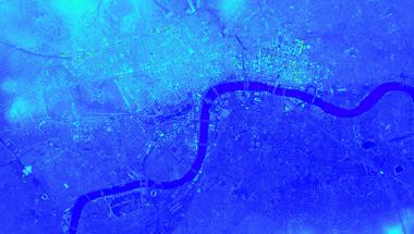
Earth Observation and Environmental Sensing Hub
The Earth Observation and Environmental Sensing (EOES) Hub is an interdisciplinary research group at the Department of Geography, King’s College London.
Centre for Integrated Research in Risk & Resilience
Bringing together research disciplines to shape a critical perspective on resilience and its application as a concept.
News
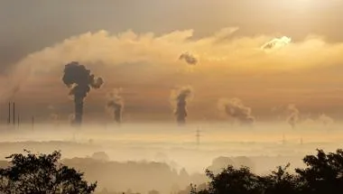
£260,000 awarded to new project examining household preparedness to natural hazards in the Global South
The research project, involving a King’s geographer, will analyse and support the development of household preparedness to natural disasters and hazards in...

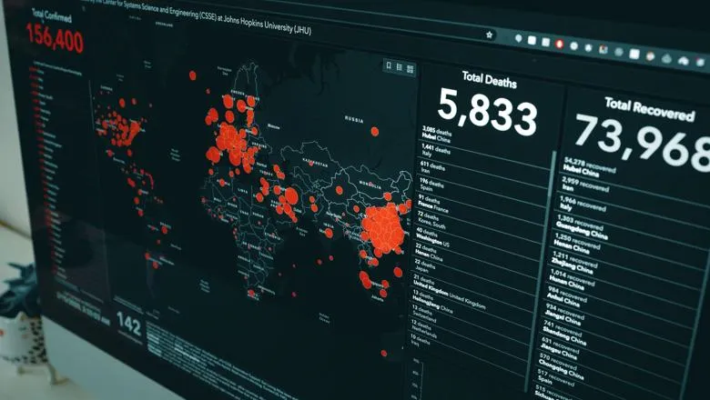
Transparency around science can help 'Build Back Better' from COVID-19
New paper led by King’s academics says political and uneven access to scientific knowledge affected public trust and paved the way for ‘alternative knowledge’.
Features
Meet our SSPP research grant winners
Find out about some of the research projects underway across the Faculty of Social Science & Public Policy

How do you manage COVID-19 with a population density of 130,000 people per square kilometre?
Kibera, one of the largest slums in Africa, is collating data during the pandemic that could shape the future narrative around slums.

Spotlight
Putting survivors at the centre of disaster response
When disasters hit, International NGOs go to help reconstruct in the aftermath. However this usually creates a long term dependence on humanitarian aid....
Research
Physical Geography and Environmental Science research group
Enhancing understanding of processes, drivers and impacts in water, land, atmosphere and ecosystems to address environmental and societal challenges.
Earth Observation and Environmental Sensing Hub
The Earth Observation and Environmental Sensing (EOES) Hub is an interdisciplinary research group at the Department of Geography, King’s College London.
Centre for Integrated Research in Risk & Resilience
Bringing together research disciplines to shape a critical perspective on resilience and its application as a concept.
News
£260,000 awarded to new project examining household preparedness to natural hazards in the Global South
The research project, involving a King’s geographer, will analyse and support the development of household preparedness to natural disasters and hazards in...
Transparency around science can help 'Build Back Better' from COVID-19
New paper led by King’s academics says political and uneven access to scientific knowledge affected public trust and paved the way for ‘alternative knowledge’.
Features
Meet our SSPP research grant winners
Find out about some of the research projects underway across the Faculty of Social Science & Public Policy
How do you manage COVID-19 with a population density of 130,000 people per square kilometre?
Kibera, one of the largest slums in Africa, is collating data during the pandemic that could shape the future narrative around slums.
Spotlight
Putting survivors at the centre of disaster response
When disasters hit, International NGOs go to help reconstruct in the aftermath. However this usually creates a long term dependence on humanitarian aid....