Biography
Winnie Owoko is a PhD student in the Department of Geography at King's.
Her overall research focus is to enhance long-term monitoring of African lakes by utilizing open-source satellite data and machine learning to address the limitations of inconsistent research data for policy development and sustainable management of water resources. She is currently focused on understanding the effects of hydrological changes resulting from human development and climate variation on biomass production and developing a fish production model for fisheries management.
Winnie’s interests and experience have evolved around aquatic ecosystem research and conservation, with a demonstrated commitment to causes that potentially bring positive change to resource-dependent communities. She has established herself as an erudite scholar in matters involving the application of GIS and remote sensing technologies: GPS, QGIS, and ArcMap, Google Earth Engine in monitoring the blue space to facilitate sustainability. Spatial-temporal mapping of invasive aquatic weeds, macrophytes, and algal blooms, land use/land-cover mapping, and time-series analysis, digitizing and mapping of natural/environmental resources.
Research
Thesis title: 'Investigating the Effects of Climate Variability and Lake Level Fluctuations on Primary Productivity and Fisheries Management in an African Desert Lake'
PhD supervision
- Principal supervisor: Dr Emma Tebbs
- Secondary supervisor: Dr Michael Chadwick
Further details
Research
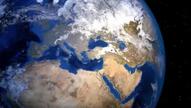
Physical Geography and Environmental Science research group
Enhancing understanding of processes, drivers and impacts in water, land, atmosphere and ecosystems to address environmental and societal challenges.
Earth Observation and Environmental Sensing Hub
The Earth Observation and Environmental Sensing (EOES) Hub is an interdisciplinary research group at the Department of Geography, King’s College London.

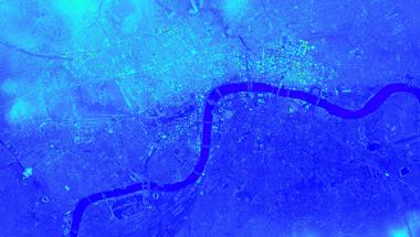
A Satellite-Based Water Quality Monitoring Tool for East African Lakes
This interactive, web-based platform harnesses satellite data to provide near real-time and historical insights into lake water quality.
Project status: Ongoing
Research
Physical Geography and Environmental Science research group
Enhancing understanding of processes, drivers and impacts in water, land, atmosphere and ecosystems to address environmental and societal challenges.
Earth Observation and Environmental Sensing Hub
The Earth Observation and Environmental Sensing (EOES) Hub is an interdisciplinary research group at the Department of Geography, King’s College London.
A Satellite-Based Water Quality Monitoring Tool for East African Lakes
This interactive, web-based platform harnesses satellite data to provide near real-time and historical insights into lake water quality.
Project status: Ongoing