Dr Engielle Mae Paguican
Lecturer in Physical Geography and Environmental Science
Research interests
- Geography
- Environment
Biography
Dr Engielle Mae Paguican obtained a BSc in Statistics and MSc in Geology at the University of the Philippines, studying the deadly 2006 lahars at Mayon Volcano. She finished her PhD in Earth Sciences at Université Blaise Pascal, France where she studied volcano collapses. She completed three postdoctoral fellowships: at the University at Buffalo, USA and at Vrije Universiteit Brussel, Belgium.
Her postdoctoral projects covered the effects of tectonics and erosion on the morphology of volcanoes. Engielle was awarded a Balik Scientist (Returning Scientist) Fellowship by the Philippine Department of Science and Technology in 2020. She has taught at the University of the Philippines, the University of the South Pacific in Fiji, and Caraga State University in the Philippines, where she helped established the BSc Geology program and researched sustainable mineral resources.
Currently, she serves as an editor for Volcanica, a free to publish, free to access international journal for volcanology, and the Journal of Ecosystem Science and Eco-Governance, a Philippines-based international peer-reviewed journal focusing on the intricate relationships within ecosystems and their impact on the overall quality of life.
Research
- Volcano geomorphology: volcano landscape evolution, volcano–tectonic–climate interactions
- Earth surface processes and geohazards: debris avalanches and large landslides, lahars (volcanic mudflows), flooding
- Sustainable mining
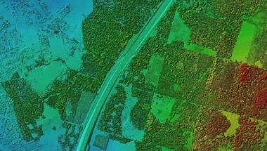
- Use of GIS and remote sensing, statistics, and analogue and numerical modelling in research
Engielle’s research on geohazards, geomorphology and Earth surface processes contributes to our understanding of these processes to develop ways of responding to disasters, global environmental challenges, and sustainability. Her interest in geohazards and Earth surface processes started when she was involved in the search and rescue operations of the deadly Guinsaugon debris avalanche in the Philippines.
Understanding when and how these events happen, and understanding their mechanisms is useful for mitigating hazards and for a resilient and sustainable future. She uses analogue and numerical modelling, remote sensing and GIS, statistical analysis, and field studies to understand how physical processes shape our environment over a range of scales.
Teaching
Undergraduate
- 4SSG1008 Geography Tutorials: Critical Thinking & Techniques (Field in York)
- 5SSG2062 BSc Geography Research Tutorials
- 5SSG2023 Earth Surface Environments
- 5SSG2064 Global Environmental Issues: Science & Solutions
- 5SSG2046 Field Research in Physical Geography in Tenerife
Postgraduate
- 7SSGN225 Research Design and Project Management
- 7SSGN110 Environmental Data Analysis
Further details
Research
Physical & Environmental Geography research group
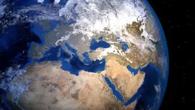
Researching the interactions between the Earth’s hydrological, geomorphological, atmospheric and ecological processes at different geographical scales.
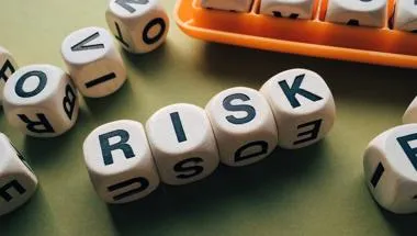
Risk, Hazard & Society research group Centre for Integrated Research in Risk & Resilience
Risk, Hazard & Society research group Centre for Integrated Research in Risk & Resilience
Earth Observation and Environmental Sensing Hub
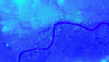
The Earth Observation and Environmental Sensing (EOES) Hub is an interdisciplinary research group at the Department of Geography, King’s College London.
Geocomputation and Data Science Research Hub
The Geocomputation and Data Science Research Hub provides expertise in solving contemporary global problems using data.
Centre for Integrated Research in Risk & Resilience
Bringing together research disciplines to shape a critical perspective on resilience and its application as a concept.
Research
Physical & Environmental Geography research group
Researching the interactions between the Earth’s hydrological, geomorphological, atmospheric and ecological processes at different geographical scales.
Risk, Hazard & Society research group Centre for Integrated Research in Risk & Resilience
Risk, Hazard & Society research group Centre for Integrated Research in Risk & Resilience
Earth Observation and Environmental Sensing Hub
The Earth Observation and Environmental Sensing (EOES) Hub is an interdisciplinary research group at the Department of Geography, King’s College London.
Geocomputation and Data Science Research Hub
The Geocomputation and Data Science Research Hub provides expertise in solving contemporary global problems using data.
Centre for Integrated Research in Risk & Resilience
Bringing together research disciplines to shape a critical perspective on resilience and its application as a concept.