
Dr Hannah Nguyen
Research Associate
Research interests
- Environment
- Geography
Contact details
Biography
Dr Hannah Nguyen is a Research Associate in the King's Earth Observation and Wildfire Research Group. She joined the Department of Geography as a PhD student in 2016 and completed her thesis on 'Smoke Emissions from African Landscape Fires Characterised via Satellite Remote Sensing and Atmospheric Modelling' in early 2021. During this PhD project Hannah investigated the capability of geostationary satellite-based Fire Radiative Power (FRP) products in producing a high spatio-temporal resolution fire emissions inventory for Africa. This included methodological developments to current approaches using Aerosol Optical Depth (AOD), Landcover, Tree Cover and Burned Area satellite datasets from MODIS, Landsat and Sentinal-2. It also included validation of this emission inventory through the application of the WRF-CMAQ chemical transport model and AOD and CO observations from AERONET, MODIS and Sentinal-5P.
Hannah has a MSci in Chemistry from University College London (UCL) and MSc from King's College London in Non-Equilibrium Systems. She also spent a year studying abroad at the National University of Singapore (NUS) during her first degree.
Research
In February 2021, Hannah began working with Professor Martin Wooster on projects funded by the Leverhulme Centre for Wildfires, Environment and Society. Initially, she will be working on the development of a long term fire emissions record for Africa based on the LSA SAF SEVIRI FRP product and methods developed in her thesis. Hannah will also be working on using tailored peat fire emissions datasets to produce Air Quality simulations to accompany health studies carried out in Kalimantan, Indonesia during the intense fire-induced haze episode which occurred in 2019.
Research interests
- Remote Sensing/Earth Observation
- Fire Emissions
- Atmospheric Modelling/Chemical Transport Modelling
- Air Quality
Research
Earth Observation and Environmental Sensing Hub
The Earth Observation and Environmental Sensing (EOES) Hub is an interdisciplinary research group at the Department of Geography, King’s College London.

Cross-Disciplinary Approaches to Non-Equilibrium Systems (CANES)
The mission of CANES is to train future research leaders in the understanding, control and design of systems far from equilibrium, based on rigorous training in theoretical modelling, simulation and data-driven analysis, and a breadth of awareness of common themes across disciplines.
Earth Observation and Wildfire research group
Using satellite data and remote sensing to analyse wildfires and their impact on the planet.
Leverhulme Centre for Wildfires, Environment and Society
Transforming the scientific and practical understanding of wildfire through interdisciplinary research
News
News tracker: Wildfire season expert commentary and updates
All the latest from across King's relating to wildfires in 2023.
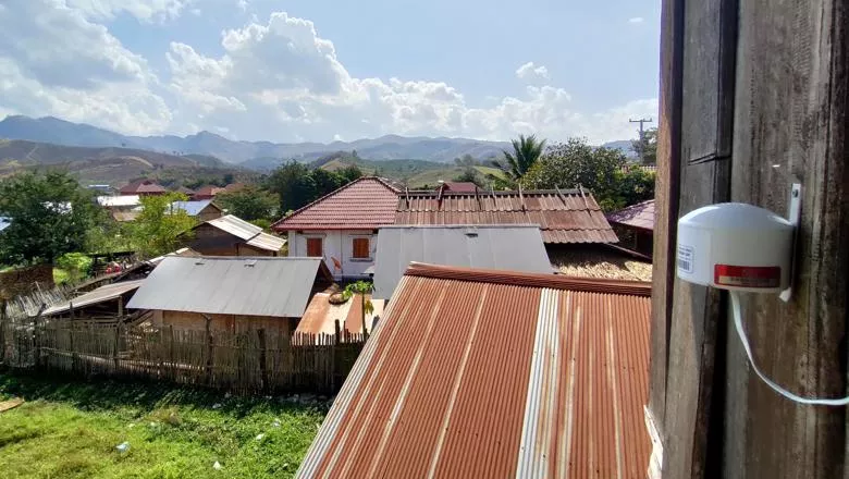
New sensors set to determine air quality and the impact of fires in Southeast Asia
King’s researchers have installed a network of remote sensors in Upper Southeast Asia to collect ground-level data at the largest scale yet, on how landscape...
Research
Earth Observation and Environmental Sensing Hub
The Earth Observation and Environmental Sensing (EOES) Hub is an interdisciplinary research group at the Department of Geography, King’s College London.
Cross-Disciplinary Approaches to Non-Equilibrium Systems (CANES)
The mission of CANES is to train future research leaders in the understanding, control and design of systems far from equilibrium, based on rigorous training in theoretical modelling, simulation and data-driven analysis, and a breadth of awareness of common themes across disciplines.
Earth Observation and Wildfire research group
Using satellite data and remote sensing to analyse wildfires and their impact on the planet.
Leverhulme Centre for Wildfires, Environment and Society
Transforming the scientific and practical understanding of wildfire through interdisciplinary research
News
News tracker: Wildfire season expert commentary and updates
All the latest from across King's relating to wildfires in 2023.
New sensors set to determine air quality and the impact of fires in Southeast Asia
King’s researchers have installed a network of remote sensors in Upper Southeast Asia to collect ground-level data at the largest scale yet, on how landscape...