
Professor Martin Wooster
Professor of Earth Observation Science
Research interests
- Environment
Biography
Professor Martin Wooster is an expert on satellite Earth observation and the quantification of landscape fire. He was appointed Professor of Earth Observation Science at King's in 2005.
He joined the Department of Geography in 1998 on a lectureship funded by the Natural Environment Research Council (NERC) Earth Observation Science Initiative (one of four such lectureships awarded nationally in the UK).
He is currently working on the Leverhulme Centre for Wildfires, Environment and Society, in partnership with Imperial College London, Royal Holloway and the University of Reading.
Previously, he was the Principal Investigator in the NERC National Centre for Earth Observation. His research was instrumental in developing the operational Fire Radiative Power (FRP) product from the Meteosat Second Generation satellites, available free in real-time from the EUMETSAT Land Satellite Applications Facility (Land SAF).
Martin chaired the Steering Committee of the NERC Field Spectroscopy Facility and was previously a member of the Steering Committee of the NERC Airborne Remote Sensing Facility. He holds investigatorships on a number of remote sensing missions.
Qualifications
- BSc in Physics, University of Bristol
- MSc in Remote Sensing, University of London
- PhD in Earth Sciences, Open University (focused on exploiting the ATSR instrument for the remote sensing of active volcanoes)
Awards
- 'Young Academic Researcher of the Year' award, King's College London (2007)
- 'Innovation and Impact' award, King's College London (2009)
- 'Daiwa-Adrian Award for Excellence in UK-Japan Collaborative Science'
- 'Knowledge Transfer Award for Environmental Science', London Development Agency
Research
- Remote sensing/earth observation
- Biomass burning
- Active volcanoes
- Natural hazards
- Thermal processes atmospheric pollutionisation and complex systems
Martin's key research interest lies in quantifying the role that vegetation fires (biomass burning) play in exchanges of material between the land surface and the atmosphere, and the development of remote sensing approaches to help address this question.
Martin leads the King's Earth Observation and Wildfire Research Group.
PhD supervision
Martin welcomes those interested in possible postgraduate study or research fellowships to email him.
Further details
Research
Physical Geography and Environmental Science research group
Enhancing understanding of processes, drivers and impacts in water, land, atmosphere and ecosystems to address environmental and societal challenges.
Earth Observation and Environmental Sensing Hub
The Earth Observation and Environmental Sensing (EOES) Hub is an interdisciplinary research group at the Department of Geography, King’s College London.
Centre for Non-Equilibrium Science (CNES)
CNES acts as an international hub for cross-disciplinary research in non-equilibrium science.

Climate & sustainability researchers at King’s
King's researchers working across climate and sustainability
Earth Observation and Wildfire research group
Using satellite data and remote sensing to analyse wildfires and their impact on the planet.
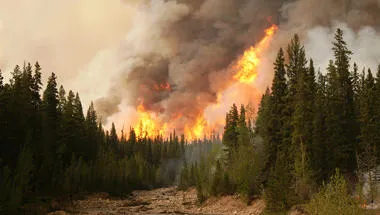
Leverhulme Centre for Wildfires, Environment and Society
Transforming the scientific and practical understanding of wildfire through interdisciplinary research
News
King's leads major international effort to monitor Amazon's climate tipping point
Project will be the most detailed greenhouse gas monitoring campaign ever conducted in the region

Celebrating King's colleagues recognised in 2025 New Year Honours List
Congratulations to everyone who received honours from King Charles III this year
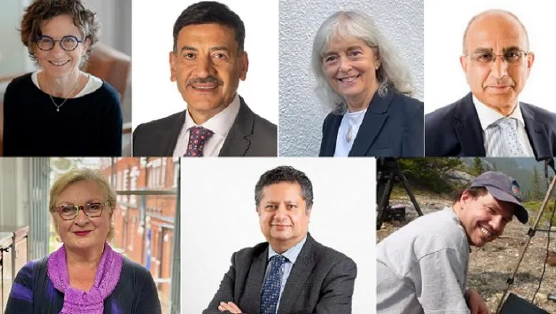
King's expert in wildfires and satellite imaging awarded MBE in New Year Honours
Recognition for researcher who helped bring global attention to landscape fire and smoke
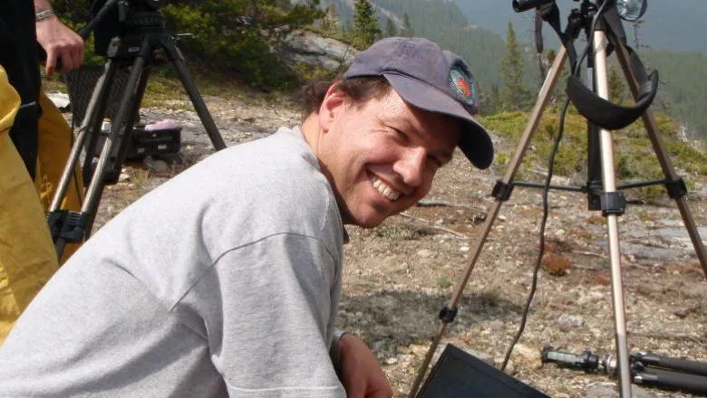
King's awarded renewed investment in wildfire research capabilities
Department of Geography scientists are part of a collaboration to win five years of investment into their research on global landscape fire - from...
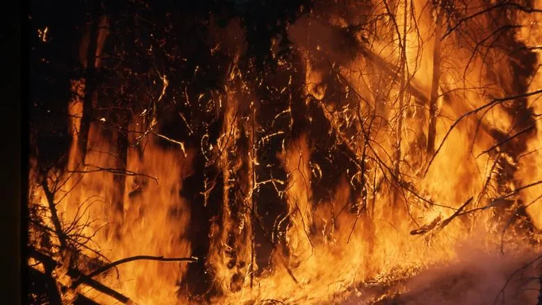
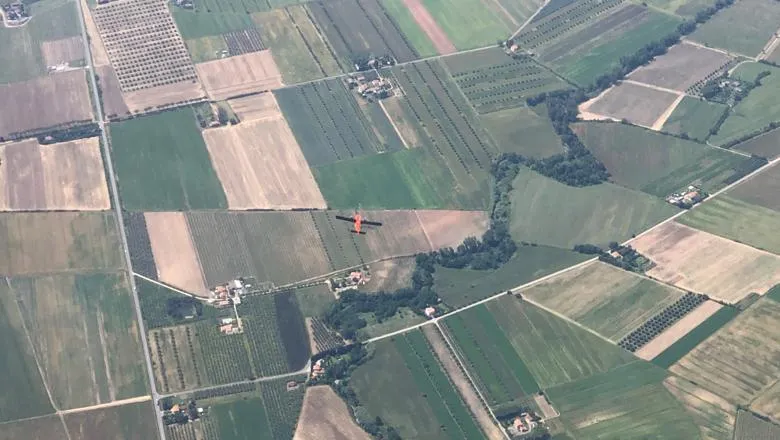
Enhanced sensor design developed by King's researchers could improve accuracy of monitoring for heatwaves and wildfires
The modified design was used for the first time by the team in a joint European Space Agency (ESA) and NASA airborne campaign in Italy between May and July...
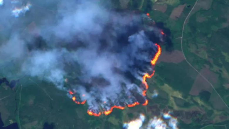
Faster satellite detection of extreme wildfires imminent
New satellite technology, modified by King’s researchers, is set to spot fires significantly earlier then currently possible – potentially enabling quicker...
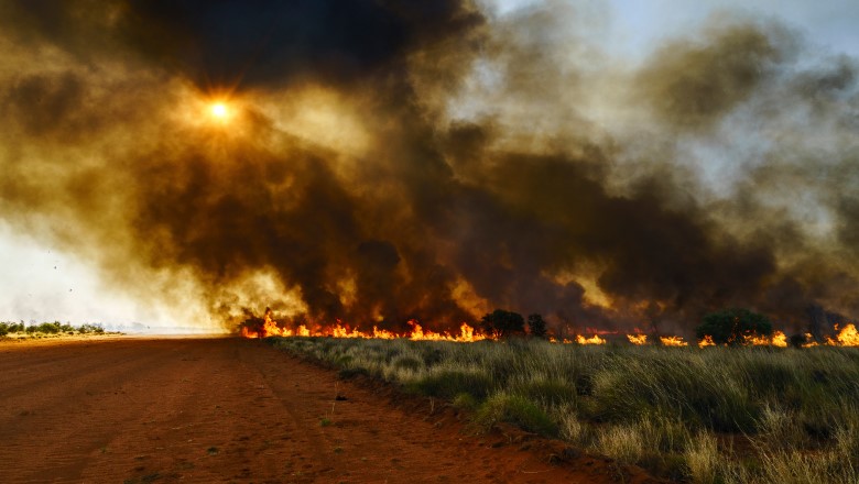
News tracker: Wildfire season expert commentary and updates
All the latest from across King's relating to wildfires in 2023.
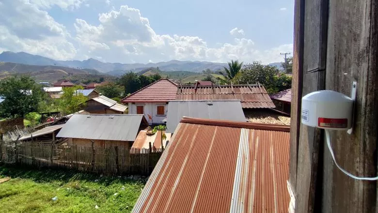
New sensors set to determine air quality and the impact of fires in Southeast Asia
King’s researchers have installed a network of remote sensors in Upper Southeast Asia to collect ground-level data at the largest scale yet, on how landscape...
Global perspectives of fire on Earth
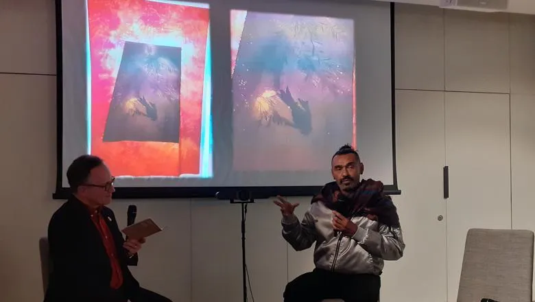
Scientists and artists gathered to discuss wildfire, landscape management and traditional practices at the world preview of the artwork, ‘Stolen Climate’.
King's joins new partnership to address scorching wildfires in Europe
As parts of Europe face another season of extreme wildfires, driven by climate and socioeconomic changes, King’s experts are working with partners across the...
Events
Wildfires in the Lab: creative experiments through art and science
A Creative Learning Lab with artists and researchers exploring wildfires
Please note: this event has passed.
Features
How exposure to smoke from landscape fires could account for almost 1 in 10 deaths around the world in children under 5
New research has shown that smoke inhalation could be the cause of almost 10% of children worldwide.

Exploring wildfire through art
The Exchange is pleased to announce a new collaboration bringing together researchers from the King’s Geography Department with artists from around the world...
Understanding and living with fire on our planet
King’s is part of a new research centre that aims to improve our knowledge of fire on our planet.

Spotlight
Helping keep track of wildfires around the world
How research from King’s means the world is now better able to monitor, map and understand where fires are occurring in real time and at global scale.

Research

Physical Geography and Environmental Science research group
Enhancing understanding of processes, drivers and impacts in water, land, atmosphere and ecosystems to address environmental and societal challenges.

Earth Observation and Environmental Sensing Hub
The Earth Observation and Environmental Sensing (EOES) Hub is an interdisciplinary research group at the Department of Geography, King’s College London.

Centre for Non-Equilibrium Science (CNES)
CNES acts as an international hub for cross-disciplinary research in non-equilibrium science.

Climate & sustainability researchers at King’s
King's researchers working across climate and sustainability

Earth Observation and Wildfire research group
Using satellite data and remote sensing to analyse wildfires and their impact on the planet.

Leverhulme Centre for Wildfires, Environment and Society
Transforming the scientific and practical understanding of wildfire through interdisciplinary research
News
King's leads major international effort to monitor Amazon's climate tipping point
Project will be the most detailed greenhouse gas monitoring campaign ever conducted in the region

Celebrating King's colleagues recognised in 2025 New Year Honours List
Congratulations to everyone who received honours from King Charles III this year

King's expert in wildfires and satellite imaging awarded MBE in New Year Honours
Recognition for researcher who helped bring global attention to landscape fire and smoke

King's awarded renewed investment in wildfire research capabilities
Department of Geography scientists are part of a collaboration to win five years of investment into their research on global landscape fire - from...

Enhanced sensor design developed by King's researchers could improve accuracy of monitoring for heatwaves and wildfires
The modified design was used for the first time by the team in a joint European Space Agency (ESA) and NASA airborne campaign in Italy between May and July...

Faster satellite detection of extreme wildfires imminent
New satellite technology, modified by King’s researchers, is set to spot fires significantly earlier then currently possible – potentially enabling quicker...

News tracker: Wildfire season expert commentary and updates
All the latest from across King's relating to wildfires in 2023.

New sensors set to determine air quality and the impact of fires in Southeast Asia
King’s researchers have installed a network of remote sensors in Upper Southeast Asia to collect ground-level data at the largest scale yet, on how landscape...

Global perspectives of fire on Earth
Scientists and artists gathered to discuss wildfire, landscape management and traditional practices at the world preview of the artwork, ‘Stolen Climate’.

King's joins new partnership to address scorching wildfires in Europe
As parts of Europe face another season of extreme wildfires, driven by climate and socioeconomic changes, King’s experts are working with partners across the...

Events

Wildfires in the Lab: creative experiments through art and science
A Creative Learning Lab with artists and researchers exploring wildfires
Please note: this event has passed.
Features
How exposure to smoke from landscape fires could account for almost 1 in 10 deaths around the world in children under 5
New research has shown that smoke inhalation could be the cause of almost 10% of children worldwide.

Exploring wildfire through art
The Exchange is pleased to announce a new collaboration bringing together researchers from the King’s Geography Department with artists from around the world...

Understanding and living with fire on our planet
King’s is part of a new research centre that aims to improve our knowledge of fire on our planet.

Spotlight
Helping keep track of wildfires around the world
How research from King’s means the world is now better able to monitor, map and understand where fires are occurring in real time and at global scale.

